 01
01Design
Airframe geometry
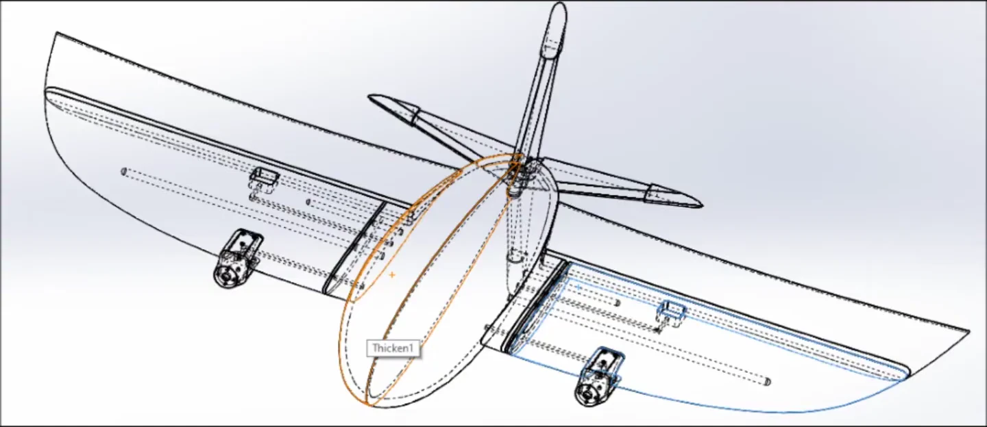
The prototype’s custom airframe is the starting point for our surveying and mapping platform.
OUR ENGINEERING APPROACH
The airframe, flight software and mission workflow need to work together. Our next development phase applies that engineering focus to surveying and mapping.
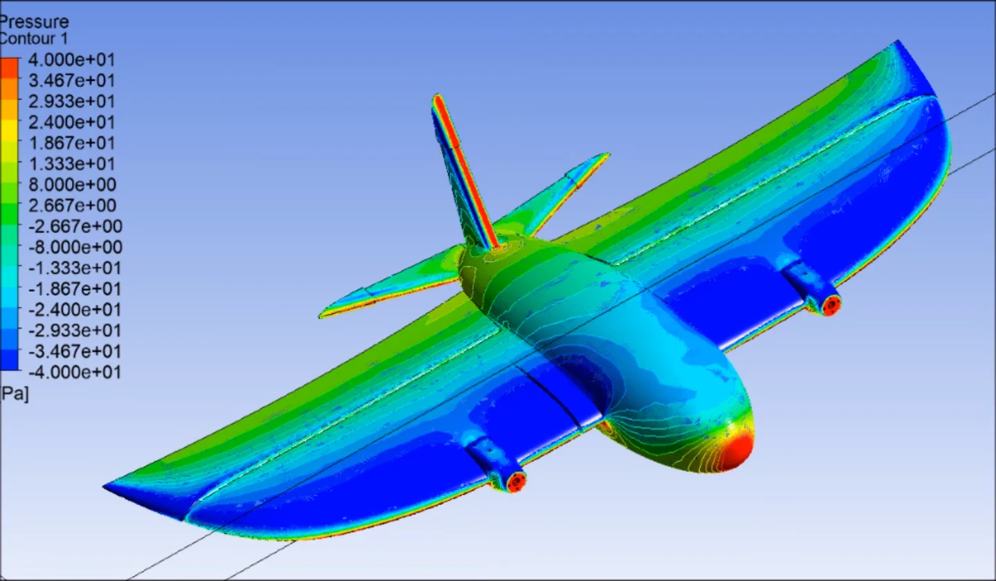 AERODYNAMICS / PRESSURE
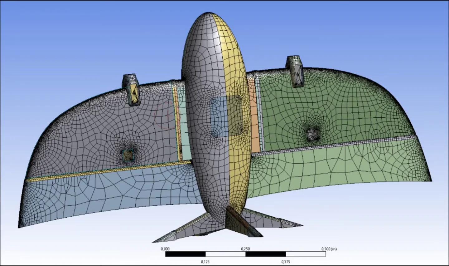 GEOMETRY / SURFACE MESH
01THE WORK BEHIND THE FLIGHT
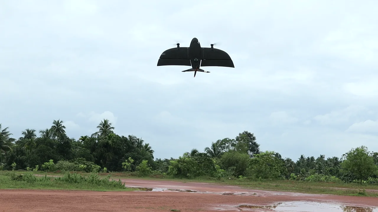
The original programme already brought design, analysis, machining, assembly and flight testing together.
01Airframe geometry
The prototype’s custom airframe is the starting point for our surveying and mapping platform.
02Mesh & flow studies
Aerodynamic analysis alongside practical modelling and iteration.
 03
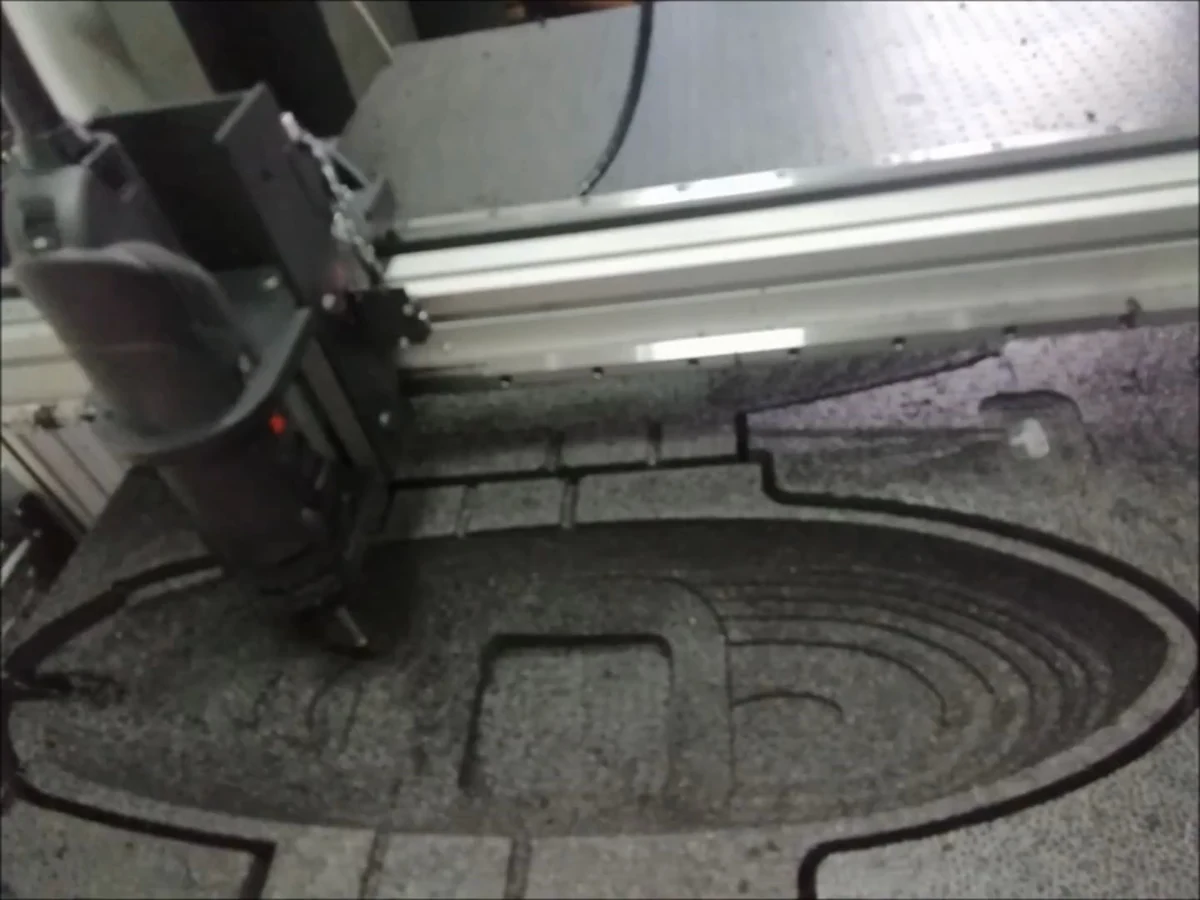
03CAD to CAM to hardware
Machining, fabrication and hands-on assembly by the team.
 04
04The test that matters
Prototype flight testing informs the next airframe and its intended surveying and mapping missions.
02FROM THE ENGINEERING ARCHIVE
CAD geometry, flow visualisation and solver studies from the prototype programme.
Wireframe view of the wing, fuselage and propulsion layout.
View source frame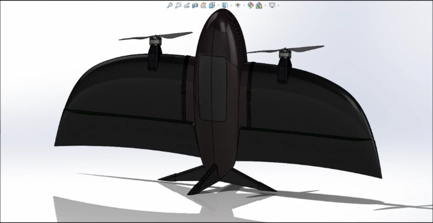
Solid CAD model in the vertical takeoff attitude.
View source frame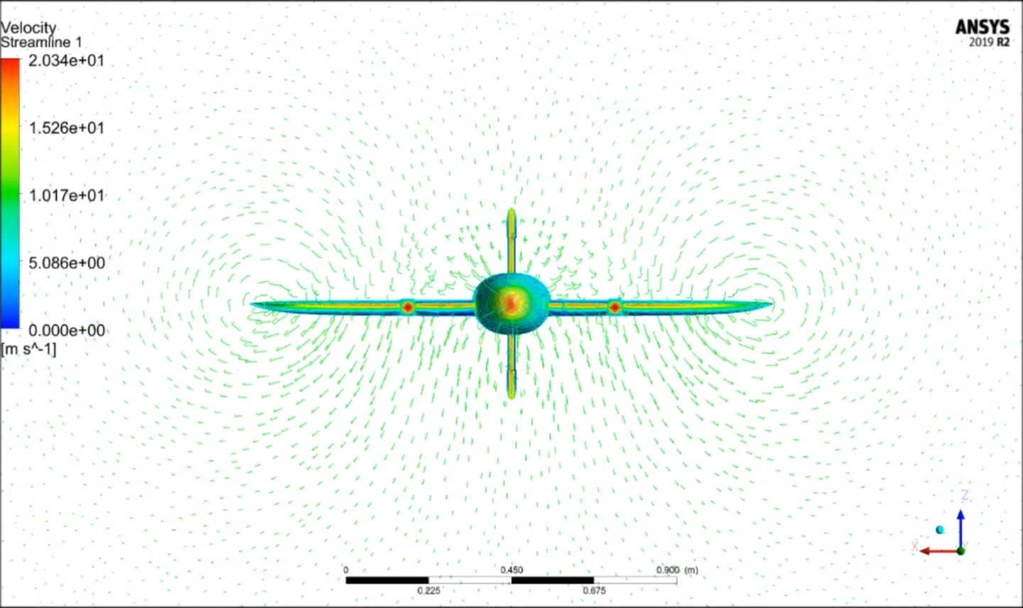
Front-view velocity visualisation with the original scale and units.
View source frame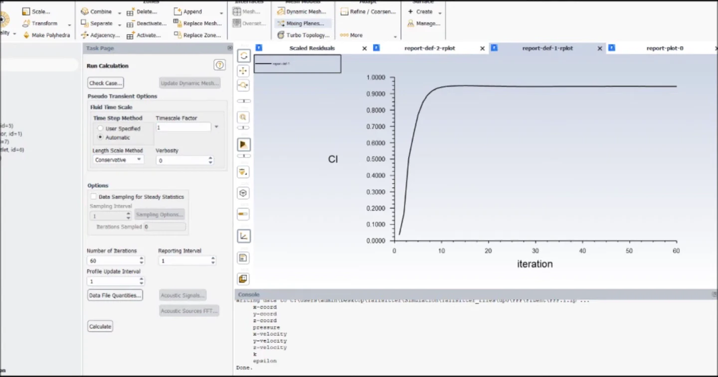
Lift-coefficient iteration history from the archived analysis.
View source frame03PEREGRON CONTROL
Our ground station software direction brings survey planning, aircraft readiness and mission monitoring into a single operator workspace.
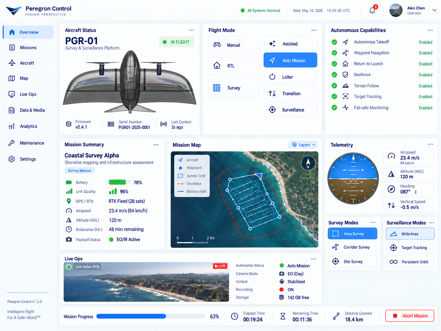
An overview bringing aircraft status, the survey map and telemetry into one workspace.
View full size ↗Interface concepts. Displayed missions, telemetry and capabilities are illustrative.
04OUR NEXT DEVELOPMENT PHASE
Our simulation direction starts with the aircraft we actually built, not a generic drone model.
Mass properties, propulsion response, control surfaces and aerodynamic behaviour. The goal is a model calibrated against measurements from the real aircraft.
Our direction is to connect the model with PX4, evaluate control behaviour and repeat the same scenario under different conditions.
Compare simulated results with separate physical tests. Document where the model is useful and where more testing is needed.
DEVELOPMENT DIRECTION — NOT A CLAIM OF A COMPLETED SIMULATION PRODUCT.
THE COMMERCIAL PLATFORM
Our commercial focus is an autonomous aircraft platform for surveying and mapping. We are developing simulation, repeatable testing and flight software to support that next airframe.
We want to work with survey teams to define mission planning, field operation and the data they need from each flight. Those requirements will guide the platform’s development and validation.
Discuss your survey workflowSURVEYING & MAPPING
We’re working towards a commercial mapping platform.
Help shape it around your field requirements.